Take-out
Save this feature with the run it belongs to.
Gauge Conditions
Intermediate flow. Perhaps ideal flows for beginner-to-intermediate boaters (full run or PnP at EPL, UPk, TD or North Ave). (See description for details.)
Photo
Description
Multiple choice!
1) Halfway between North Avenue and the footbridge (flanks of the old dam), before shallow rubble shoals. The paver-block riverbanks may be slippery in the water or if wet on shore, but they provide a smooth, stable surface to exit your boat, and the shore slope is not steep. It is most advantageous to use this exit-option if you wish to carry up for additional surfs of Shadow (et.al.), since there is little-to-no additional play down the remainder of this stretch. Going any further down just nearly doubles the walk back up!
2) Beyond the rocky pitch, the right shore is lined with trees and shrubs until midway to the dam/pedestrian-bridge. There's a clearing, then one final good-sized willow. Exit your boat (from a somewhat precarious eddy), step onto quarry rock (likely SLIPPERY in/near the water - BE VERY CAREFUL!). Carry or drag boat a couple of steps across irregular quarry-rock, before good footing on gabions (wire baskets filled with rock) and then grassy shore. Carry upriver to rerun/replay this stretch, or carry to your vehicle.
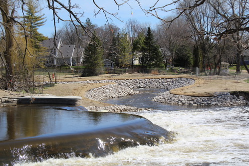
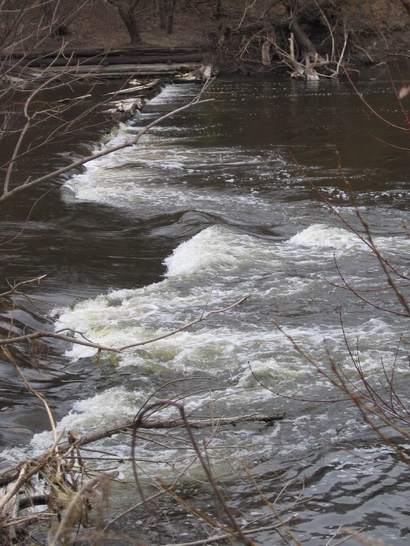
The remaining take-outs are all beyond the pedestrian footbridge. NOTE: At flows above 1000-2000 cfs there may be DYNAMIC swirls and boils (even small whirlpools which form randomly!) as the fast water meets flat water here. Above 2000-3000 cfs, this area can get downright wicked looking, filled with all manner of floating debris! However, there is nearly no reason to boat here at those flows, as there are nearly no surfable features!
So, a number of options exist below the pedestrian-bridge.
3A) Stay far river-right under the pedestrian bridge. Paddle immediately to shore, taking out VERY NEAR the dam, then hike up a very steep, rocky embankment. This is a steep, awkward, inconvenient climb (recommended only for the most long-legged, strong, and stubborn of boaters).
3B) Stay center-to-left under the pedestrian bridge. Wait until well-downstream of the dam to head to shore at one of two or three locations with Lannon-stone steps at shore. DO NOT USE 'UNIMPROVED' areas of shore! It will be best if you do NOT use the first spot you come to, since it is a longer walk/carry to a place to get to street level. From the second or third landing, you will see steps running up the high embankment to street level.
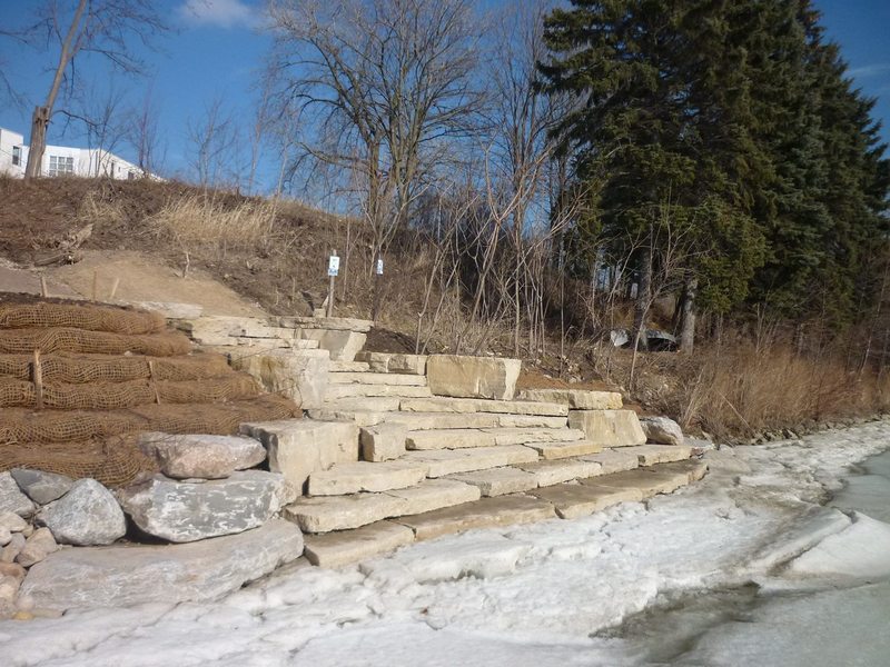
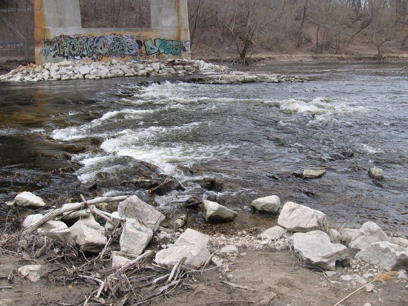
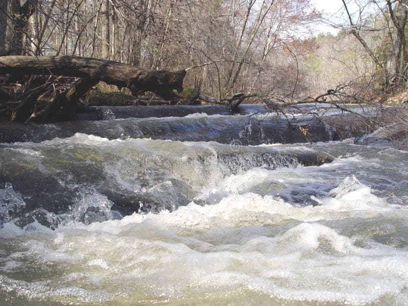
3C) Stay in the current nearly all the way to the vertical steel plate left shore wall. Stay river-left (or you'll actually be paddling against the eddy current below the dam!), not heading to river-right until you can see the Humboldt Avenue bridge and buildings on river-right shore. An obvious landing with huge quarry-rock steps (as shown in the photo) or . . . very immediately past that, a more convenient gravel landing for kayaks. (Depending on water levels, it can be extremely awkward climbing out of a kayak at the high quarry-rock/step, so you may wish to take advantage of the gravelled landing!) A fairly steep gravel trail leads upslope to Riverboat Road right alongside a former single-family home (now offices for a river-related non-profit).
Location
Other Rapids on This Run (20)
 Waterfall
N/A
Waterfall
N/A
 Waterfall
II+
Waterfall
II+
 Playspot
II
Playspot
II
 Playspot
I
Playspot
I
 Hazard
II
Hazard
II
 Playspot
II
Playspot
II
 Playspot
II+
Playspot
II+
 Playspot
II
Playspot
II
 Hazard
II
Hazard
II
Current Conditions
5-Day Forecast
American Whitewater