*** WATER QUALITY ISSUES: CSO ***
Save this feature with the run it belongs to.
Gauge Conditions
Intermediate flow. Perhaps ideal flows for beginner-to-intermediate boaters (full run or PnP at EPL, UPk, TD or North Ave). (See description for details.)
Description
This stretch of river gets a (largely unfair) bad reputation regarding water quality due to media harping on the MMSD any time there is a CSO (Combined-Sewer Overflow). At times of unusually heavy rain, in spite of the 'deep tunnel project', millions of gallons of untreated mixed rainwater and sewage may be dumped into area rivers to prevent storm sewers from backing-up into people's basements. At one site alone, there are pumps capable of contributing 250 cfs (~6.73 million gallons per hour!) into this river via Lincoln Creek.
It is important to note that even absent a CSO, street and lawn runoff (especially with rains after a significant period without rain) contain extremely high levels of contaminants, which can be at least as bad as untreated sewage. For this reason, it is generally advisable to avoid this reach during and immediately after any heavy rains. In general, the bulk of contamination will pass one-or-two days (24-48 hours) after any rain-event. (At times of heavy rains, info about whether and where rivers are affected by CSOs will be posted on the MMSD Overflow Advisory website.)
At all other times, this river actually is far cleaner and clearer than many Wisconsin streams! During lighter rains, I would posit that this river (and Lake Michigan) is actually cleaner specifically because of the combined sewers! Absent a CSO, any lawn and street runoff (with all its pet wastes, fertilizers, chemicals and contaminants) which does enter the sanitation system is kept out of the rivers and treated before entering the lake! (Where there are not combined sewers, none of that runoff is ever treated!)
Location
Other Rapids on This Run (20)
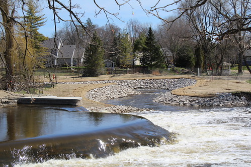 Waterfall
N/A
Waterfall
N/A
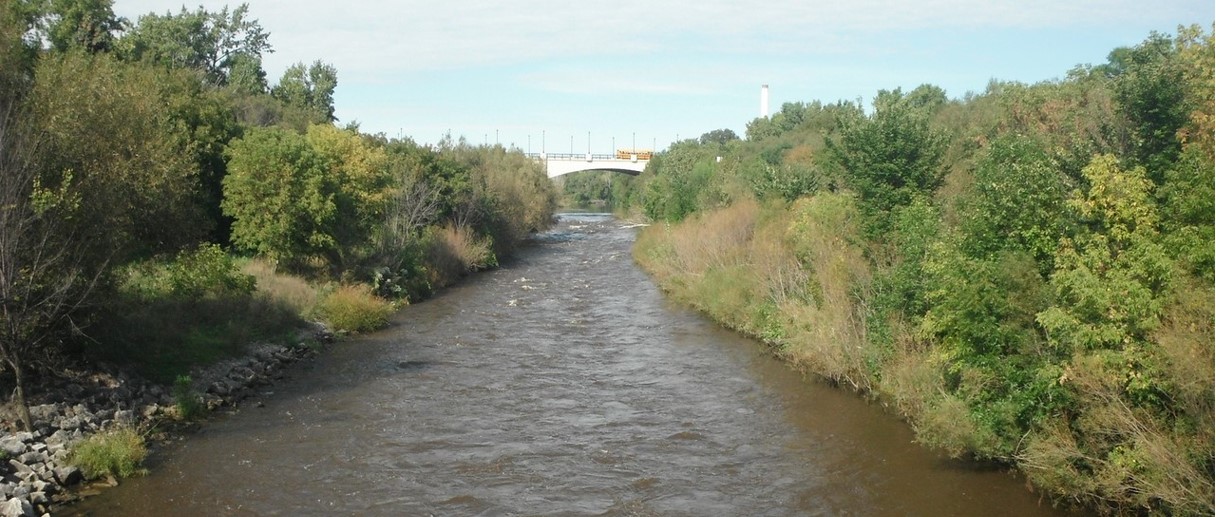 Waterfall
II+
Waterfall
II+
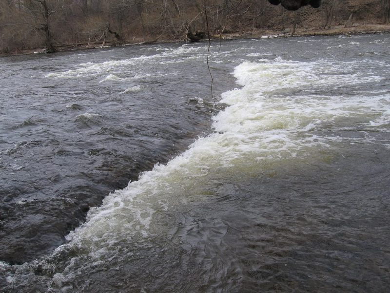 Playspot
II
Playspot
II
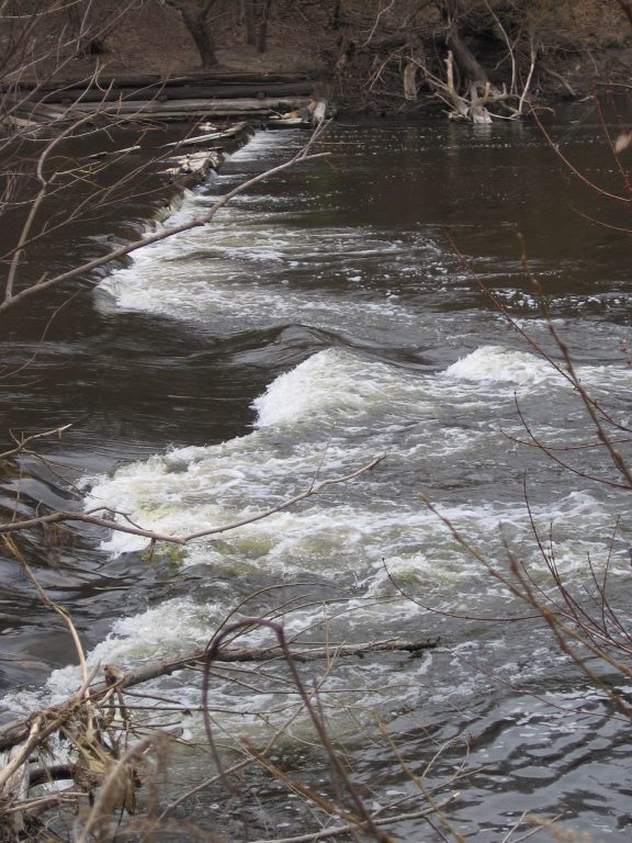 Playspot
I
Playspot
I
 Hazard
II
Hazard
II
 Playspot
II
Playspot
II
 Playspot
II+
Playspot
II+
 Playspot
II
Playspot
II
 Hazard
II
Hazard
II
 Rapid
N/A
Rapid
N/A
Current Conditions
5-Day Forecast
American Whitewater