*** WATER QUALITY ISSUE: PCB ***
Save this feature with the run it belongs to.
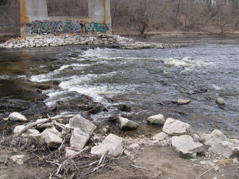
Gauge Conditions
Intermediate flow. Perhaps ideal flows for beginner-to-intermediate boaters (full run or PnP at EPL, UPk, TD or North Ave). (See description for details.)
Description
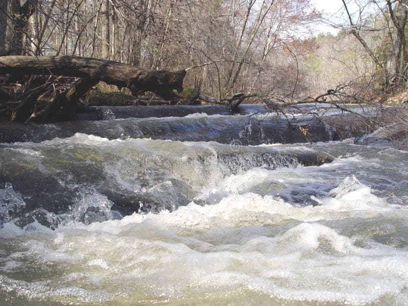
This stretch of river has been identified as a hotspot for PCBs (Polychlorinated biphenyls). A major 'contributor' to the PCB load was located on Lincoln Creek. A remediation of the river at that confluence took place spring/summer 2015, and subsequently from there down to the Estabrook Dam.
In Spring of 2017, newspaper articles mentioned sampling which has been done in this next stretch (Estabrook Dam to North Avenue Dam) to quantify the extent of the problem here, and to map the most significant areas of concern. The media incorrectly hyped this as a "new problem found". (WRONG! It is a long-known problem!) The true take-away from those studies should have been that the problem here is orders of magnitude LESS than in those upper stretches, and that there will be a forthcoming remediation down this stretch of river.
Until that happens, all dirt/mud bottom areas on this run should be considered contaminated (as well as on floodplain shores). The best information I can find suggests that PCBs primarily bond with soil and are NOT generally water soluble. This would suggest that as long as you stay in your boat, and avoid stirring up any muddy areas, your risk of any PCB contact should be minimal. Similarly, areas of bedrock would not harbor significant contamination.
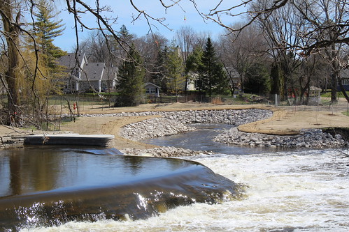
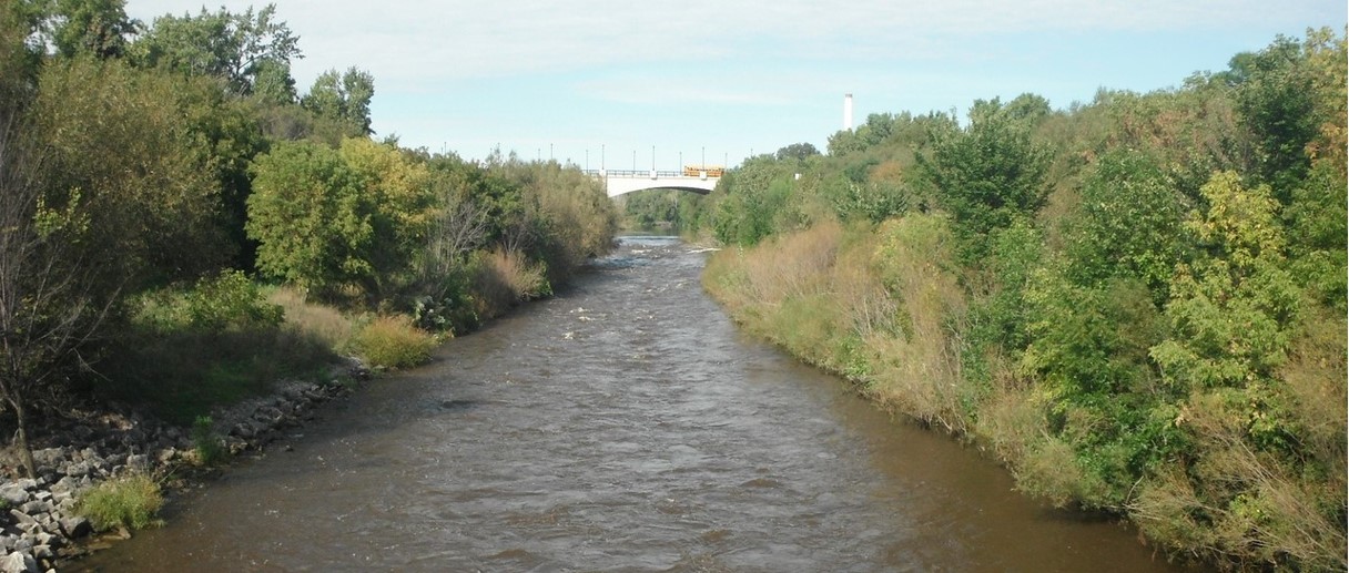
Location
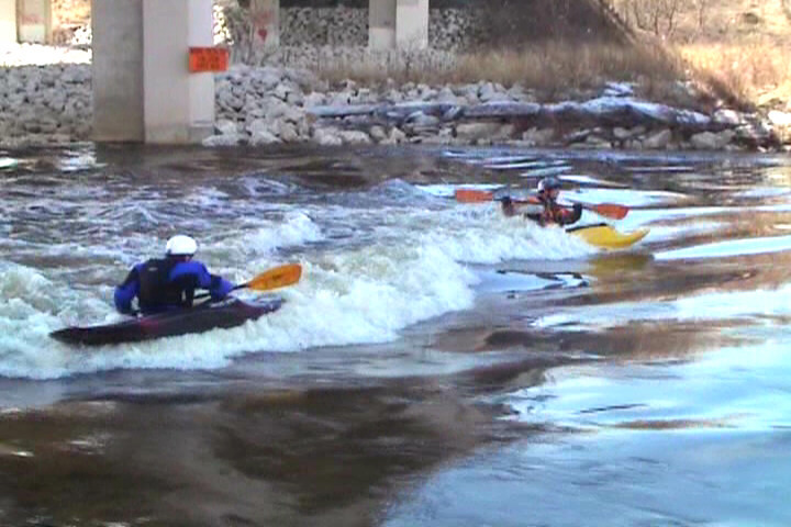
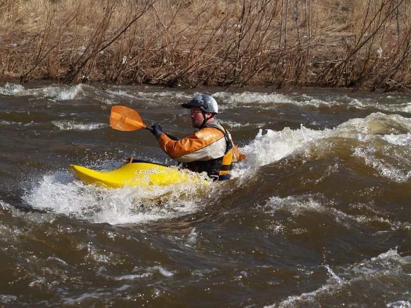
Other Rapids on This Run (20)
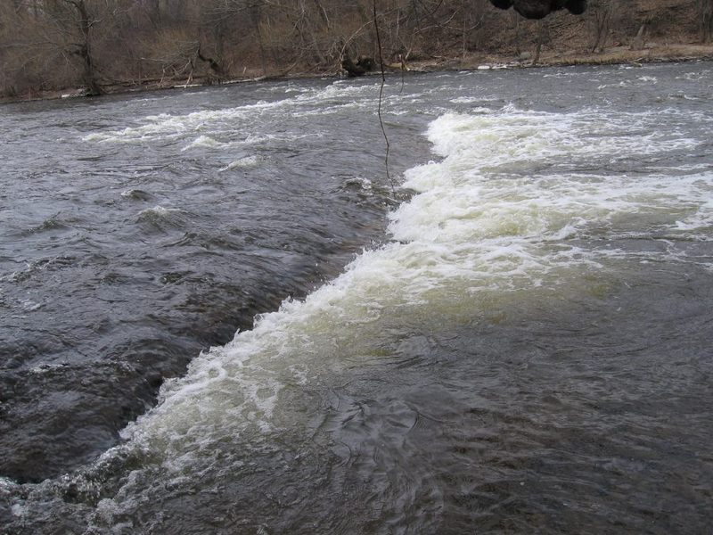
 Waterfall
N/A
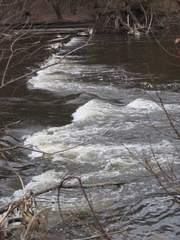
Waterfall
N/A
 Waterfall
II+
Waterfall
II+
 Playspot
II
Playspot
II
 Playspot
I
Playspot
I
 Hazard
II
Hazard
II
 Playspot
II
Playspot
II
 Playspot
II+
Playspot
II+
 Playspot
II
Playspot
II
 Hazard
II
Hazard
II
 Rapid
N/A
Rapid
N/A
Current Conditions
5-Day Forecast
American Whitewater