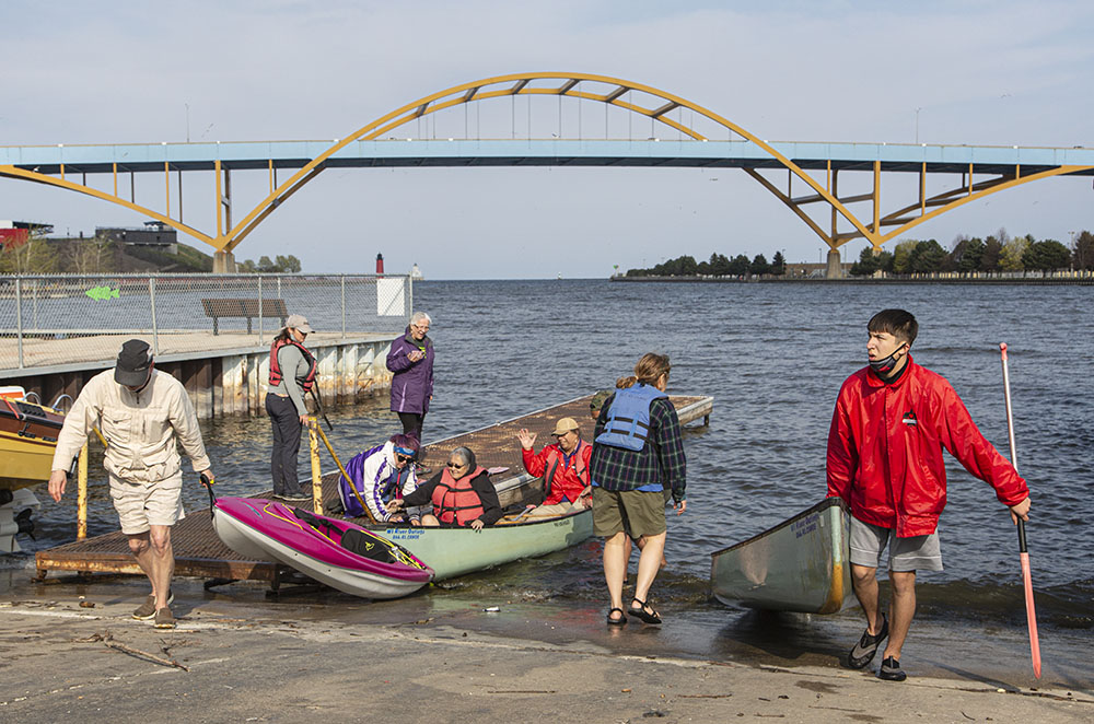
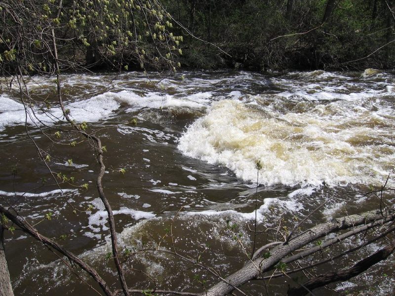
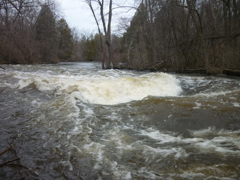
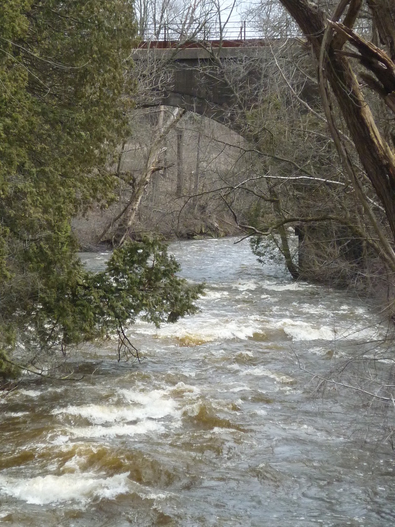
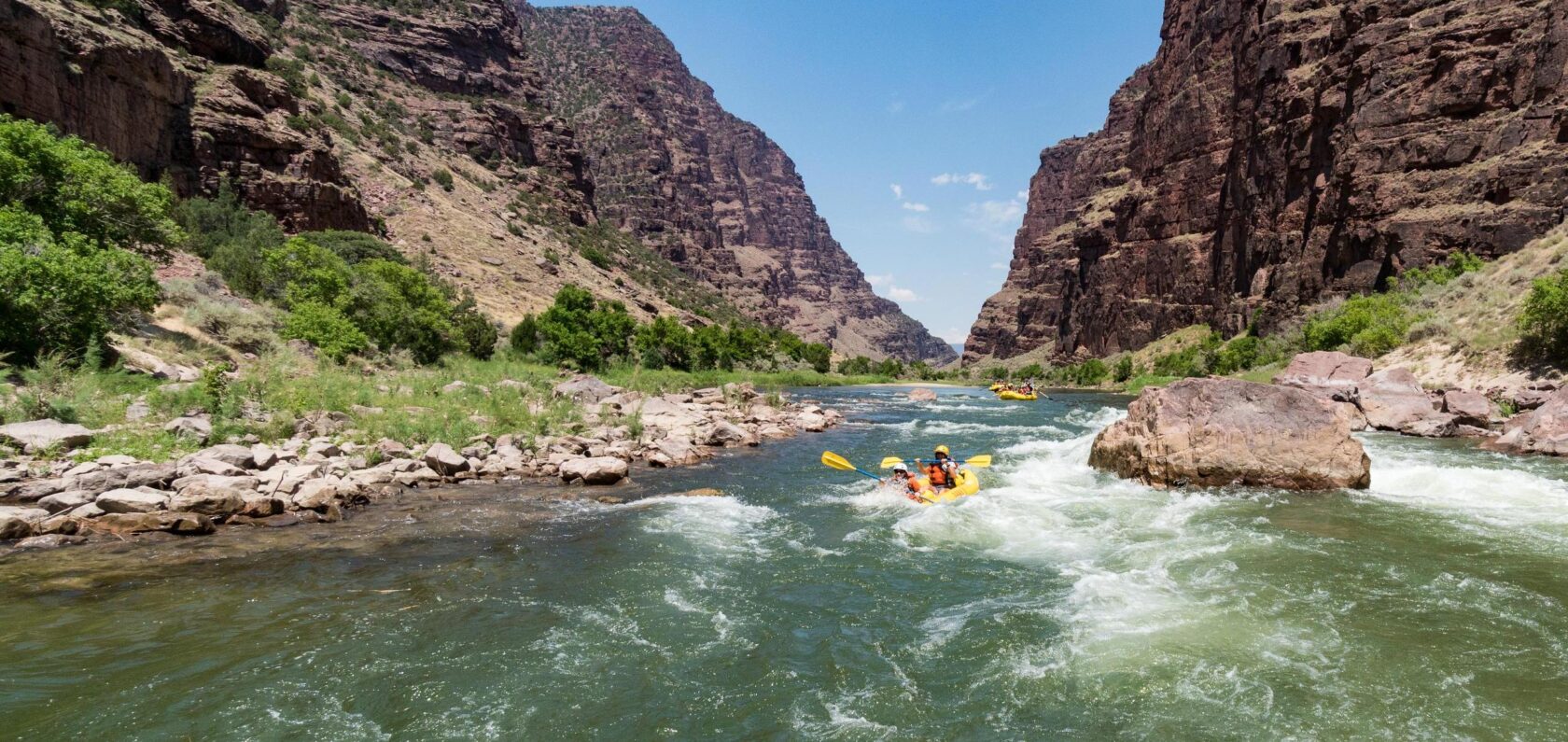
Confluence, Milwaukee River
Save this feature with the run it belongs to.
Gauge Conditions
E.L.F.(Extreme Low Flow) beginner/novice: Open boats (canoes or recreational kayaks without skirts), kayaks, rafts; minimal whitewater play.
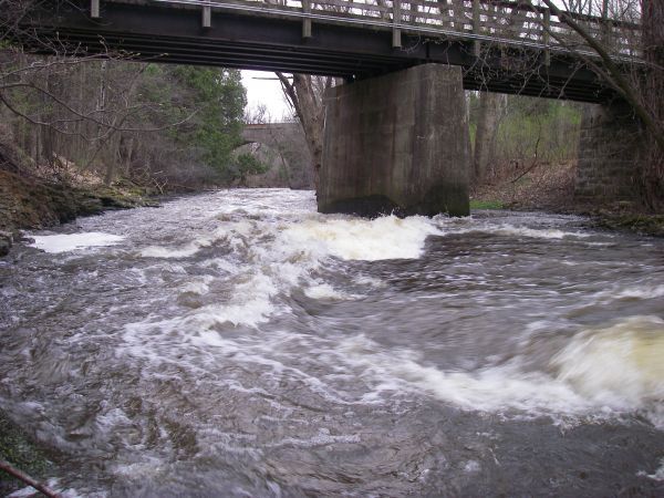
Photo
Description
A longer trip might continue to the mouth of Cedar Creek at the confluence with the Milwaukee River. Again, precious little actual whitewater would be found (both on Cedar Creek and on the Milwaukee River), though the current will generally be swift at any recommended paddleable flows.
This confluence lies just 0.43 mile downstream from where the Milwaukee River is crossed by Lakefield Road (CTH.T). Paddling that 0.43 miles upstream on the Milwaukee River would be arduous (especially since just as the bridge comes into sight, you will encounter rocky rips and increase current to paddle against). Brush beating (walking upstream) that distance seems also hard to recommend (all land surrounding the Milwaukee River here is private property).
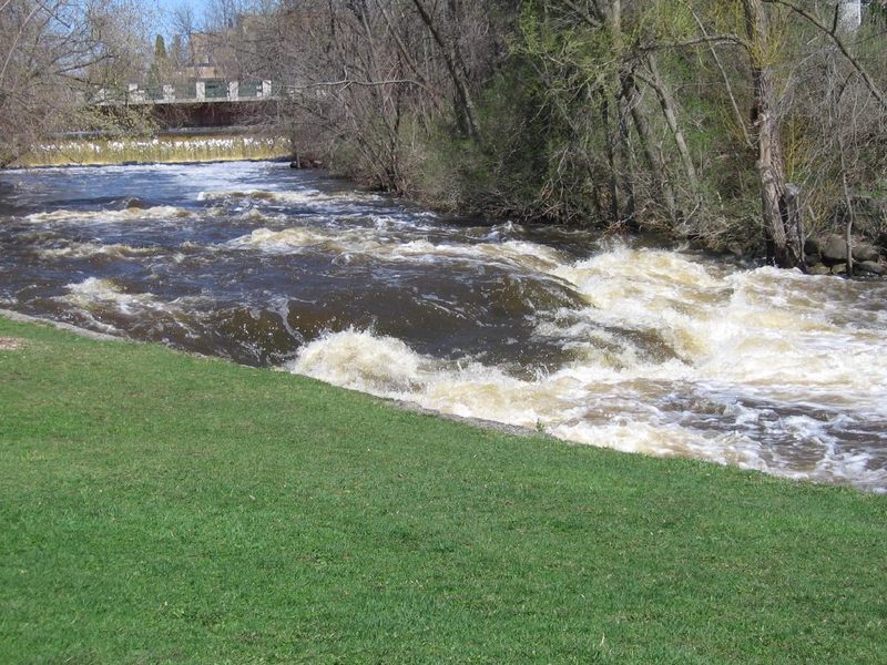
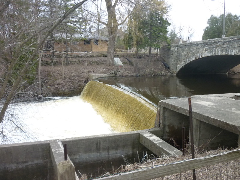
Thus, paddlers are more likely to paddle 1.32 miles downstream to exit at Pioneer Road (CTH.C), making a total very near 5.9 river miles, and a shuttle of 3.0 miles.
Location
Other Rapids on This Run (20)
 Rapid
N/A
Rapid
N/A
 Rapid
N/A
Rapid
N/A
 Hazard
N/A
Hazard
N/A
 Rapid
N/A
Rapid
N/A
 Playspot
N/A
Playspot
N/A
 Waterfall
III
Waterfall
III
 Hazard
N/A
Hazard
N/A
 Rapid
N/A
Rapid
N/A
 Playspot
II
Playspot
II
 Playspot
N/A
Playspot
N/A
 Playspot
N/A
Playspot
N/A
 Playspot
II+
Playspot
II+
 Playspot
II
Playspot
II
 Playspot
II
Playspot
II
 Rapid
N/A
Rapid
N/A
 Playspot
N/A
Playspot
N/A
 Rapid
N/A
Rapid
N/A
 Rapid
N/A
Rapid
N/A
Current Conditions
5-Day Forecast
American Whitewater