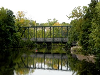
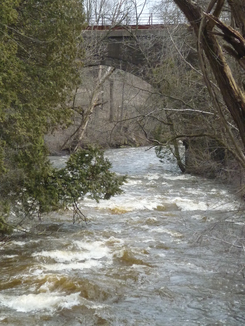
Hazelwood Bridge
Save this feature with the run it belongs to.
Gauge Conditions
E.L.F.(Extreme Low Flow) beginner/novice: Open boats (canoes or recreational kayaks without skirts), kayaks, rafts; minimal whitewater play.
Photo
Description
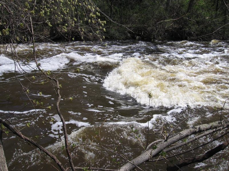
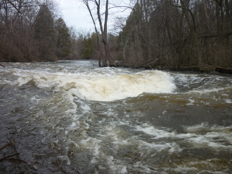
A bridge (connecting properties on each side of the creek, owned by the Hazelwood estate) spans the river. At low flows there will be shallow shoals through this area. At some flow (above 'maximum recommended flow') this bridge may become a hazard (too low to the water). The bridge pier/support left-of-center can catch whole trees and other woody debris. More than once, it has 'collected' canoes and recreational kayaks, folded in half around its leading edge.
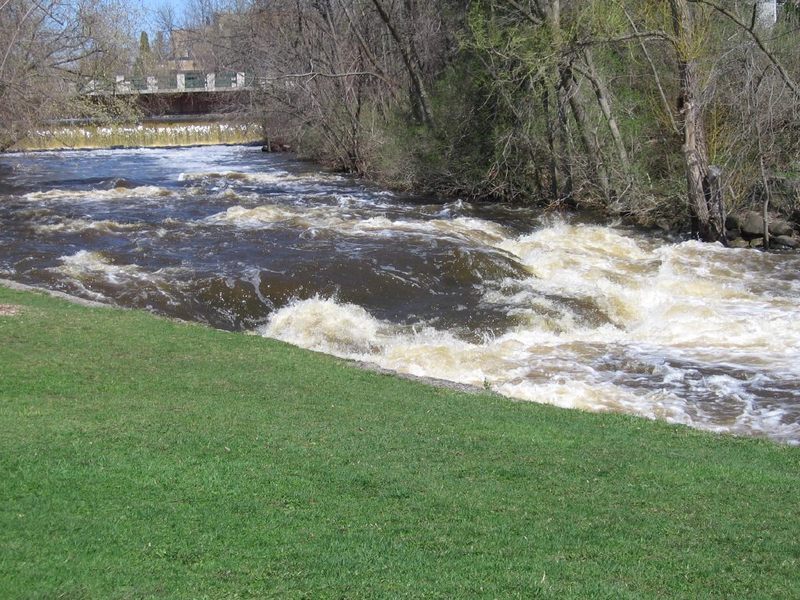
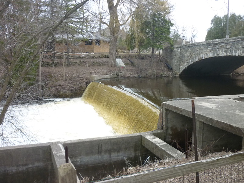
FWIW, between here and the island downstream, Cedar Creek is within 1/3 mile of the Milwaukee River in Grafton Dells, just downstream of the canoe launch in Grafton Lime Kiln Park. However, the creek meanders another 3.3 miles before its confluence with the Milwaukee River, downstream of CTH.C.
WARNING: As of summer, 2022: An assortment of trees and large branches have broken off and hang over and into the water various locations downstream of this private bridge and upstream of the large island. All have been passable (so far), but require alertness and some maneuvering. It is possible some of these could drop into less benign positions or accumulate other debris, thus making passage more problematic at some time in the future.
Location
Other Rapids on This Run (20)
 Rapid
N/A
Rapid
N/A
 Rapid
N/A
Rapid
N/A
 Hazard
N/A
Hazard
N/A
 Rapid
N/A
Rapid
N/A
 Playspot
N/A
Playspot
N/A
 Waterfall
III
Waterfall
III
 Hazard
N/A
Hazard
N/A
 Rapid
N/A
Rapid
N/A
 Playspot
II
Playspot
II
 Playspot
N/A
Playspot
N/A
 Playspot
N/A
Playspot
N/A
 Playspot
II+
Playspot
II+
 Playspot
II
Playspot
II
 Playspot
II
Playspot
II
 Playspot
N/A
Playspot
N/A
 Rapid
N/A
Rapid
N/A
 Rapid
N/A
Rapid
N/A
 Rapid
N/A
Rapid
N/A
Current Conditions
5-Day Forecast
American Whitewater