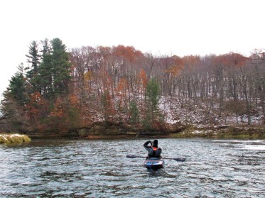
Island
Save this feature with the run it belongs to.
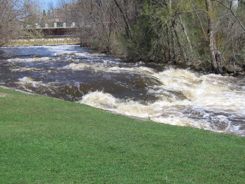
Gauge Conditions
E.L.F.(Extreme Low Flow) beginner/novice: Open boats (canoes or recreational kayaks without skirts), kayaks, rafts; minimal whitewater play.
Description
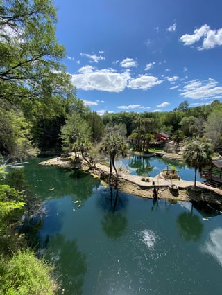
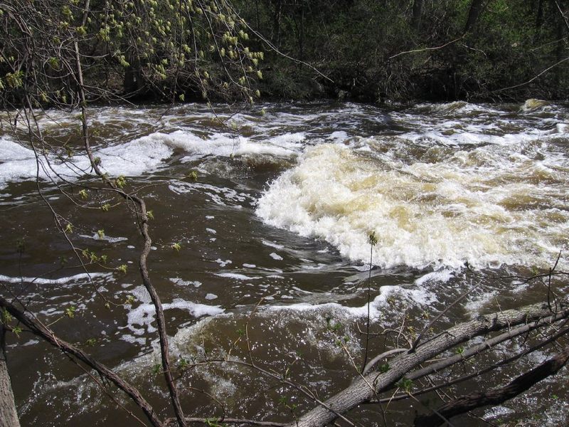
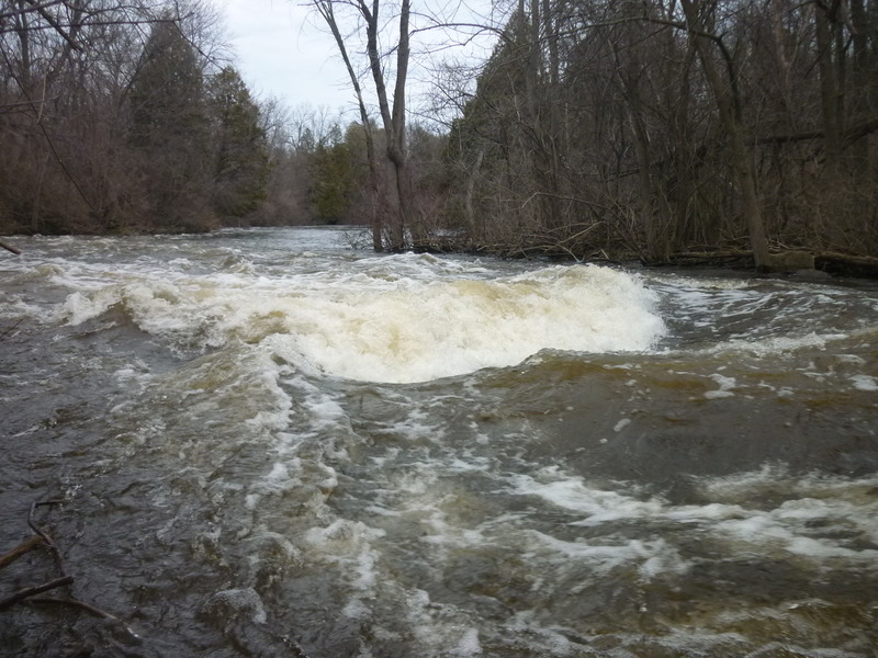
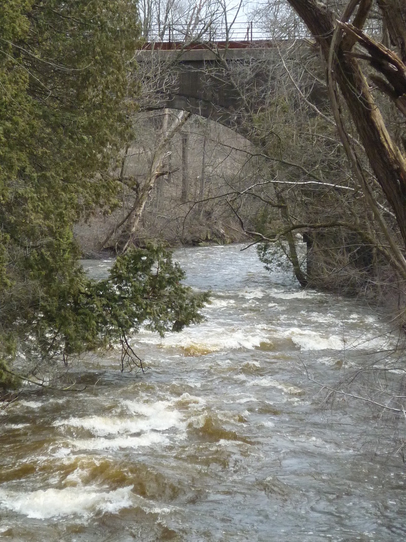
A large island (13.2 acres ... owned by the aforementioned Hazelwood estate) splits the flow.
Left of the island used to be the main channel (as shown by the default software's mapping of the river). However, over the years, it has become totally blocked by woody debris (at the entrance and places downstream), so you must head to the right of the island.
The right channel is shorter, but the entrance is a sharp zig-zag (right, then left, then right again), sending strong current into the shores, undercutting the streambank. Point your bow toward the left streambank and paddle hard to avoid being pushed into the undercut bank!
Since of April of 2023, hidden just around the first bend, trees and branches block nearly 2/3rds the width of the stream. Safe passage will require skillful paddling. Keep to the river-left ('inside of the bend') as you round the tight-left bend! From that eddy you should be able to avoid disaster of being swept sideways into the branches!
Immediately downstream, additional twists, turns and overhanging trees will keep you scrambling. Keep using the above technique (point bow to the inside around bends and paddle strongly) to avoid disaster!
As you near the end of the island, there is a large tree in the channel. As of May, 2025, either the tree has moved (slightly more parallel to the flow), or shoreline to the right has eroded a bit, (or a combination of the two), making passage easier than it had been for the past few years.
Location
Other Rapids on This Run (20)
 Rapid
N/A
Rapid
N/A
 Rapid
N/A
Rapid
N/A
 Hazard
N/A
Hazard
N/A
 Rapid
N/A
Rapid
N/A
 Playspot
N/A
Playspot
N/A
 Waterfall
III
Waterfall
III
 Hazard
N/A
Hazard
N/A
 Rapid
N/A
Rapid
N/A
 Playspot
II
Playspot
II
 Playspot
N/A
Playspot
N/A
 Playspot
N/A
Playspot
N/A
 Playspot
II+
Playspot
II+
 Playspot
II
Playspot
II
 Playspot
II
Playspot
II
 Rapid
N/A
Rapid
N/A
 Playspot
N/A
Playspot
N/A
 Rapid
N/A
Rapid
N/A
 Rapid
N/A
Rapid
N/A
 Rapid
N/A
Rapid
N/A
Current Conditions
5-Day Forecast
American Whitewater