Deer Camp Rapid
Save this feature with the run it belongs to.
Gauge Conditions
Data from American Whitewater & USGS
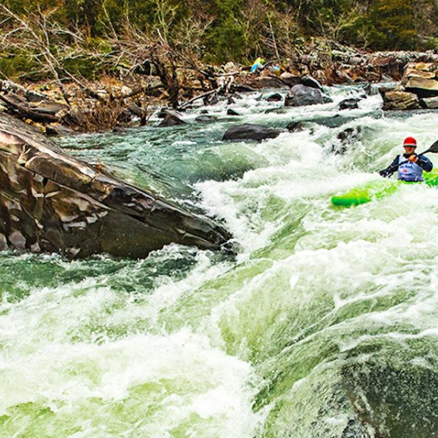
Photo
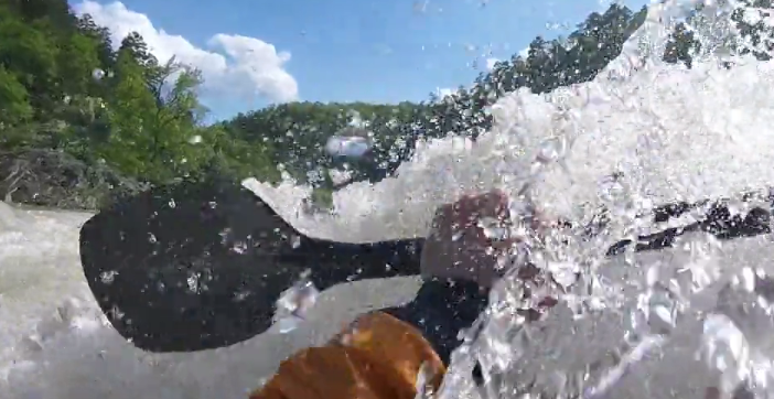
Photo courtesy of American Whitewater
Description
Long continuous rapid with holes and shallow rocks. Some pin potential on the rocks in the middle of the drop. Nice spin hole near the bottom.
Location
Interactive river map
Loads as you approach this section.
View Full Run
3) Ed Banks Road to Highway 278/4 (6.25 miles)
Cossatot
II-IV
6.4 mi
Current Conditions
5-Day Forecast
Whitewater data from
American Whitewater
American Whitewater