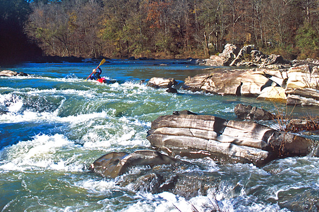
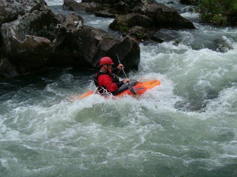
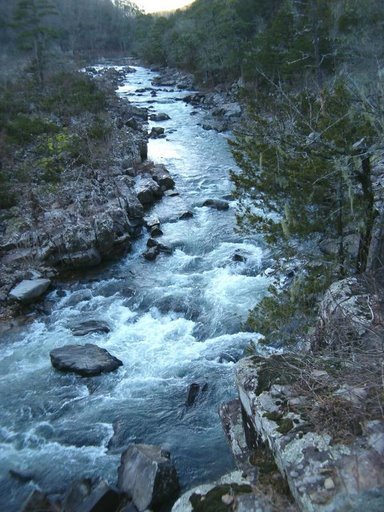
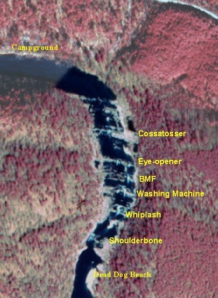
Devil Hollow Rapid
Save this feature with the run it belongs to.
Gauge Conditions
Data from American Whitewater & USGS
Description
After a pool at the bottom of Deer Camp rapid, the river splits around an island. The main flow goes left and terminates at a steep rocky drop with a couple of ledge holes and several shallow pin rocks. As the creek turns right away from the left wall. Portage left or aim for the left side of the large rock in the middle of the rapid and pick your way through the chaos.
The right channel offers a couple small ledge drops. (watch the holes at higher levels)
Location
Interactive river map
Loads as you approach this section.
View Full Run
3) Ed Banks Road to Highway 278/4 (6.25 miles)
Cossatot
II-IV
6.4 mi
Hazard — Exercise extreme caution in this area.
Current Conditions
5-Day Forecast
Whitewater data from
American Whitewater
American Whitewater