Hazard
AR
Sandbar Bridge
Save this feature with the run it belongs to.
Gauge Conditions
Data from American Whitewater & USGS
Photo
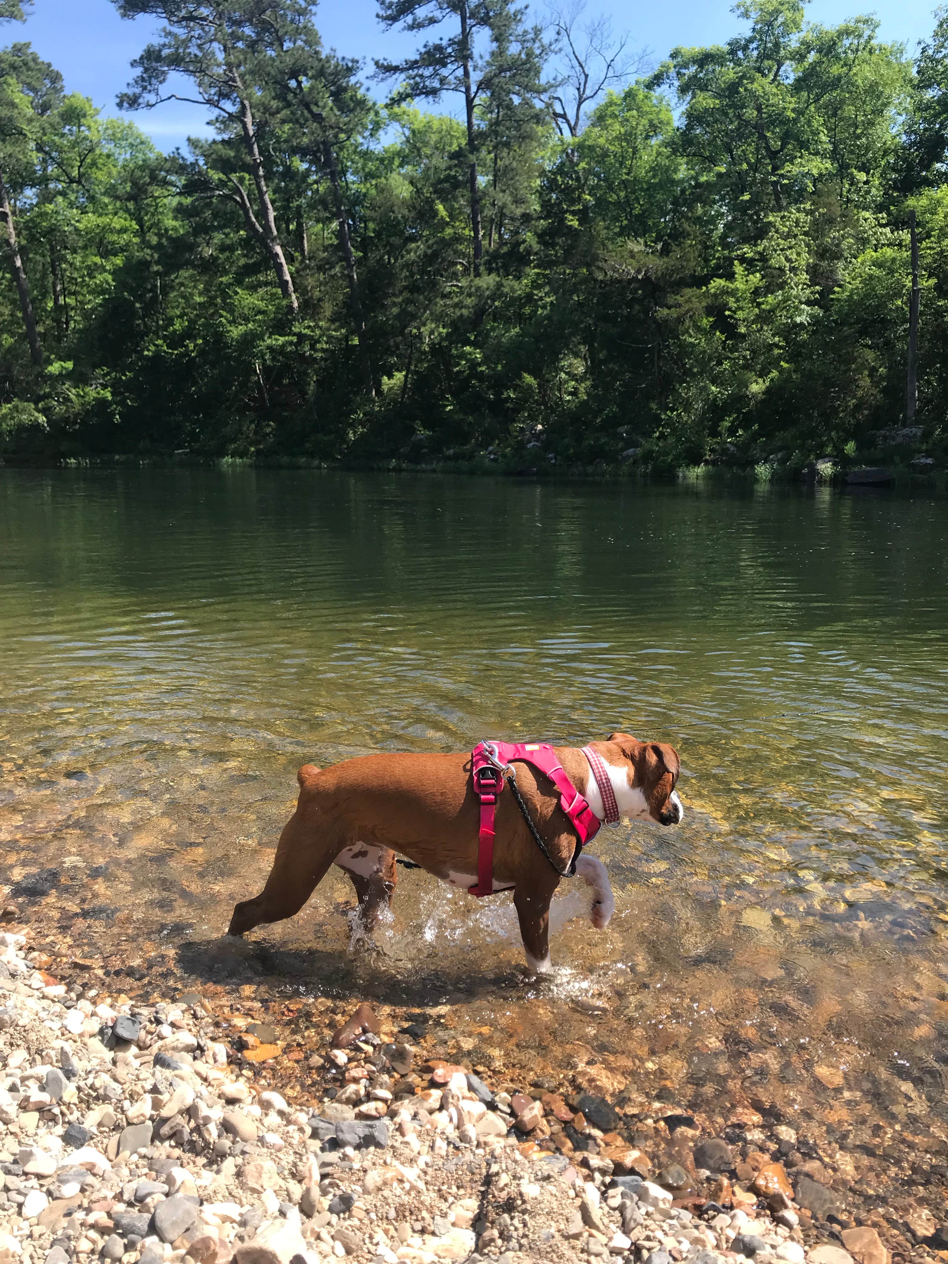
Photo courtesy of American Whitewater
Description
Alternate access point. Primitive camping on both sides of the river. Beware of this bridge. It can be run under at lower levels <3.5 ft, but some folks have been sucked under it at higher water when no airspace is present.
Good surfing ledge holes below on river left at levels > 5.0 ft.
Location
Interactive river map
Loads as you approach this section.
View Full Run
3) Ed Banks Road to Highway 278/4 (6.25 miles)
Cossatot
II-IV
6.4 mi
Hazard — Exercise extreme caution. Portage recommended — scout before running.
Current Conditions
5-Day Forecast
Whitewater data from
American Whitewater
American Whitewater