Take-out
AR
Take Out
Save this feature with the run it belongs to.
Gauge Conditions
Data from American Whitewater & USGS
Photo
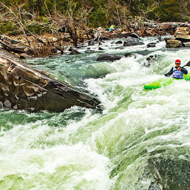
Photo courtesy of American Whitewater
Description
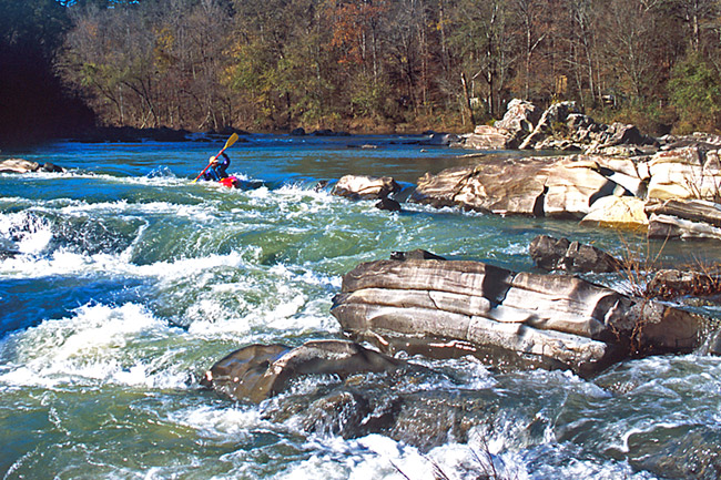
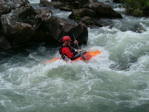
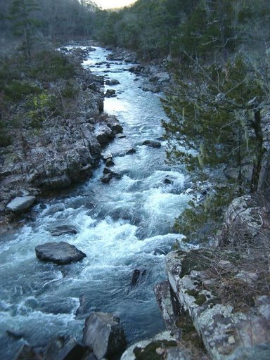
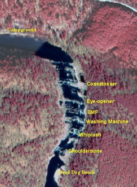
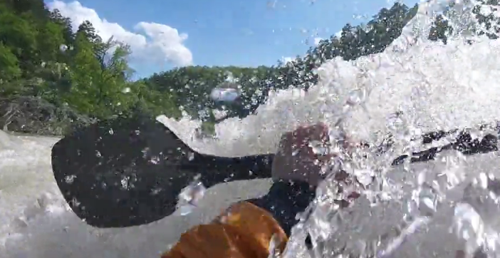
Take Out rapid marks the end of this challenging Cossatot River section, characterized by a technical exit that requires precise boat positioning to avoid rocky obstacles. Paddlers should be prepared for a potential complex line through scattered rocks and potential shallow water, maintaining momentum to successfully navigate the rapid's final descent.
Location
Interactive river map
Loads as you approach this section.
View Full Run
3) Ed Banks Road to Highway 278/4 (6.25 miles)
Cossatot
II-IV
6.4 mi
Current Conditions
5-Day Forecast
Whitewater data from
American Whitewater
American Whitewater