Put-in
AR
Put In
Save this feature with the run it belongs to.
Gauge Conditions
Data from American Whitewater & USGS
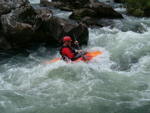
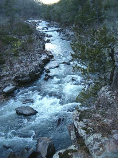
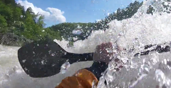
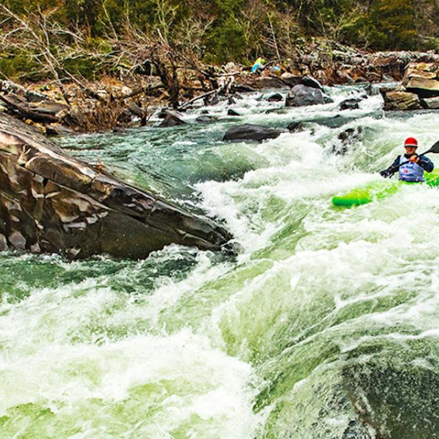
Photo
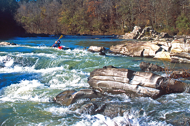
Photo courtesy of American Whitewater
Description
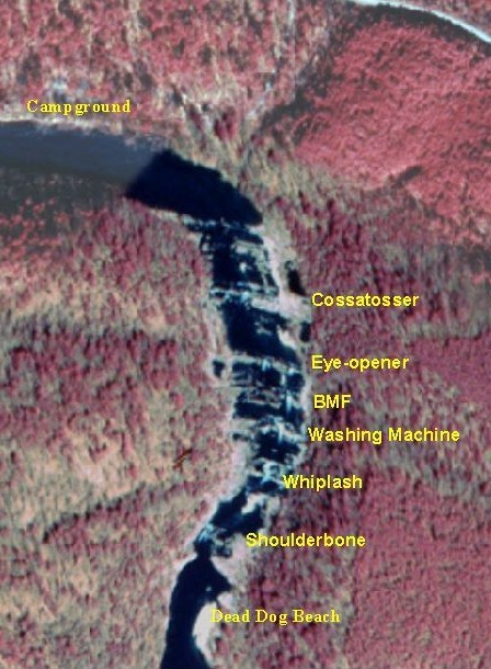
Put In is the initial access point for this challenging section of the Cossatot River, featuring a technical entry with potential shallow rock gardens and tight maneuvering. Paddlers should carefully scout the initial approach and be prepared for quick directional changes to navigate the early river conditions. While specific difficulty ratings are not established, the Put In requires solid boat control and awareness of potential riverbed hazards.
Location
Interactive river map
Loads as you approach this section.

View Full Run
3) Ed Banks Road to Highway 278/4 (6.25 miles)
Cossatot
II-IV
6.4 mi
Current Conditions
5-Day Forecast
Whitewater data from
American Whitewater
American Whitewater