Zig-Zag
Save this feature with the run it belongs to.
Gauge Conditions
Data from American Whitewater & USGS
Photo
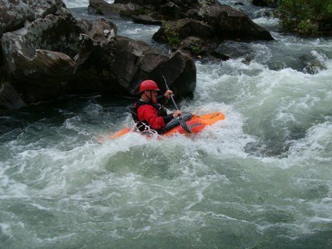
Photo courtesy of American Whitewater
Description
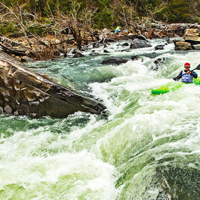
When large boulders appear to block the wide river, look for the chute to the left under the overhanging branch. Eddy to the left after the branch and line up for the double ledge drop. The current tends to push hard to the left in the middle of the drop.
Numerous lines are available through the boulders on the right. Nice small wave and eddy line to play on at the bottom of the drop.
Location
Interactive river map
Loads as you approach this section.
View Full Run
3) Ed Banks Road to Highway 278/4 (6.25 miles)
Cossatot
II-IV
6.4 mi
Current Conditions
5-Day Forecast
Whitewater data from
American Whitewater
American Whitewater