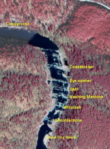
The Esses
Save this feature with the run it belongs to.
Gauge Conditions
Data from American Whitewater & USGS
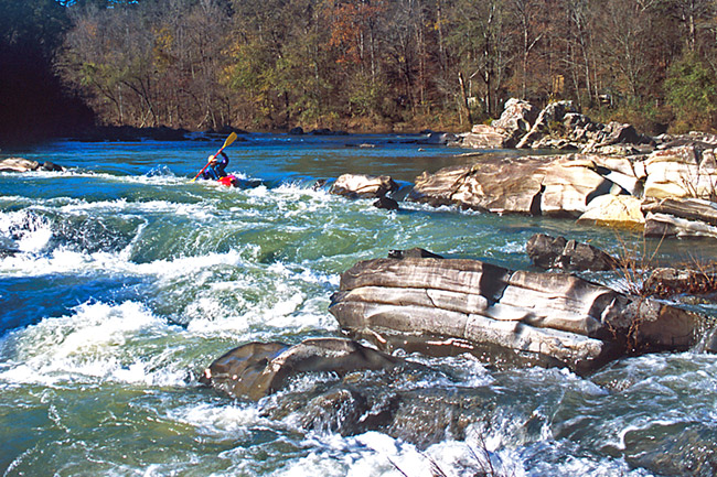
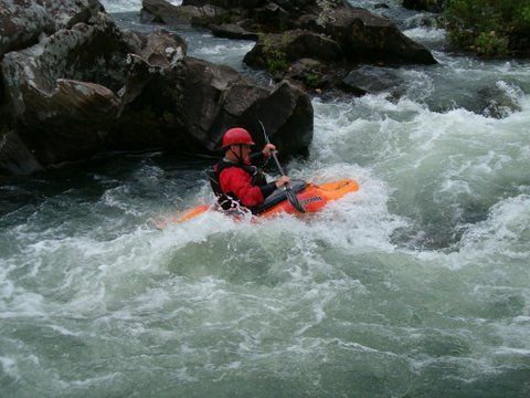
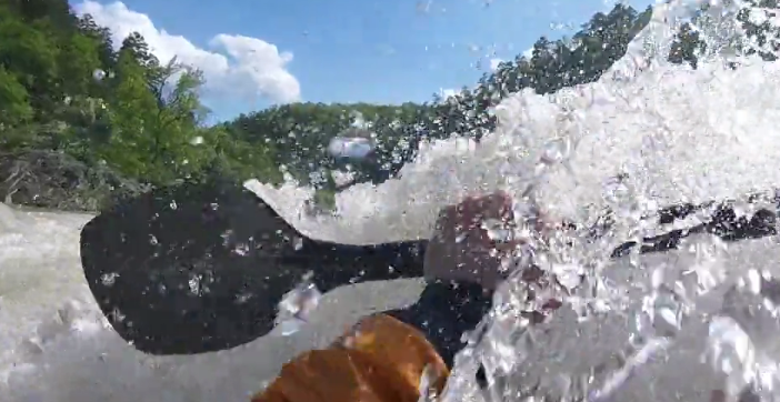
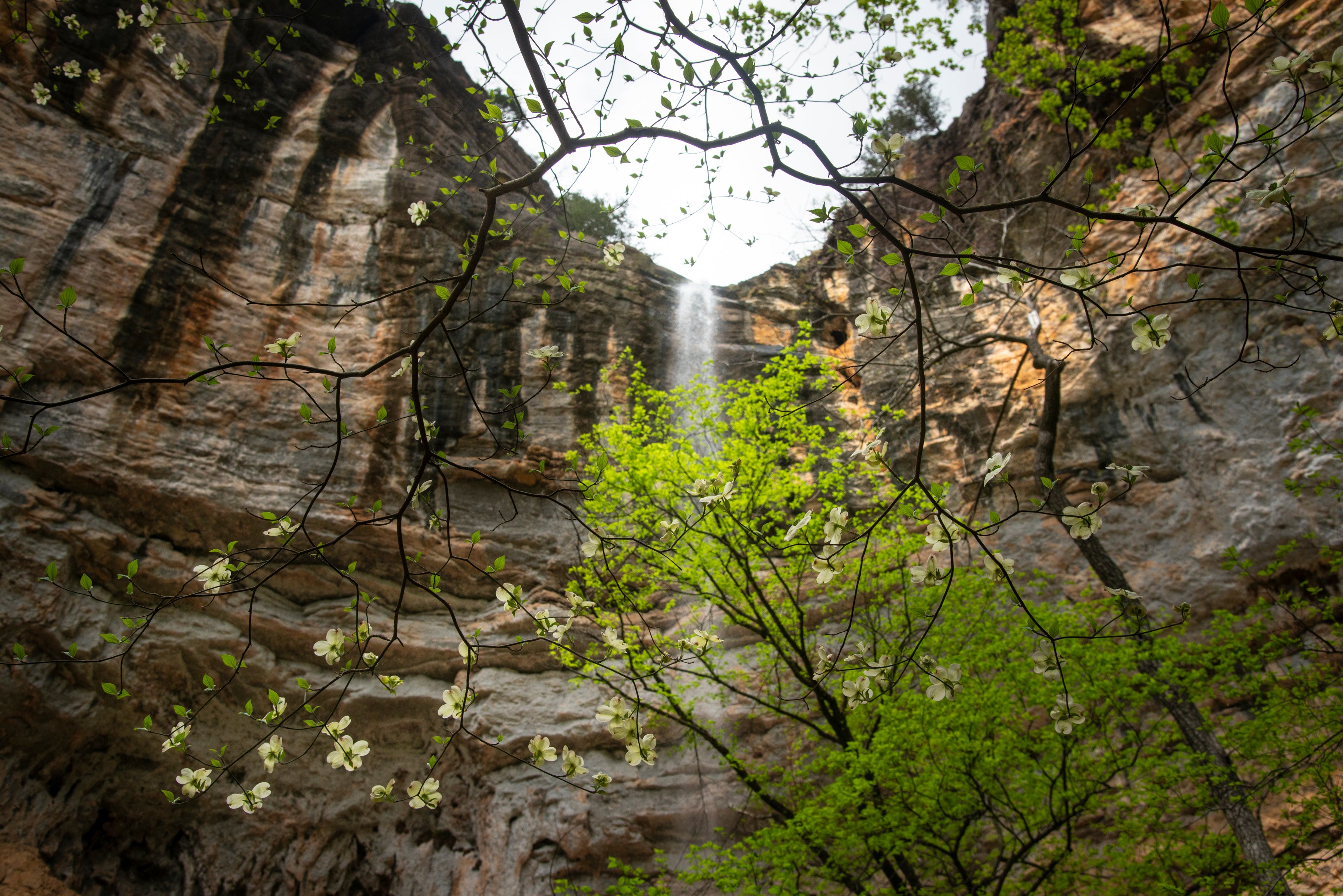
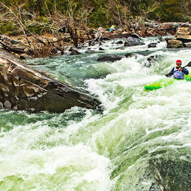
Photo
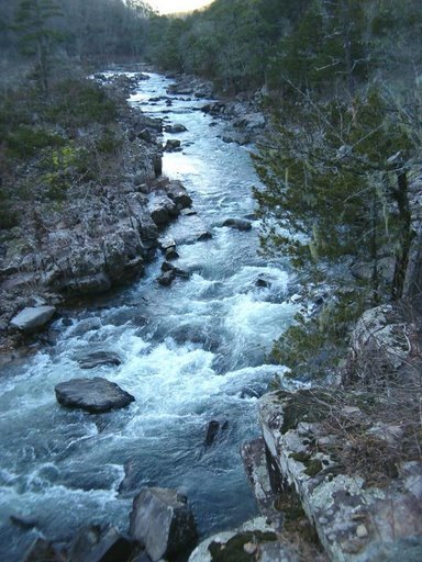
Photo courtesy of American Whitewater
Description
Main channel is constricted down the left and starts with straight forward line for the first 200 feet. Middle of the rapid features a 3-4 foot ledge with some blocker rocks above it. Easier line is down the right. Lower part of the rapid offers some nice waves with a few more rocks to dodge in the middle. Beware of the rocks along the right bank near the bottom opposite of the start of the river left bluff. Portage and scout on the right bank (actually an island). High water runs over 5 ft offer some creek lines down the right channel or large waves down the main left channel.
Location
Interactive river map
Loads as you approach this section.
View Full Run
3) Ed Banks Road to Highway 278/4 (6.25 miles)
Cossatot
II-IV
6.4 mi
Current Conditions
5-Day Forecast
Whitewater data from
American Whitewater
American Whitewater