Hazard
MI
Approximate HMC Boundary
Save this feature with the run it belongs to.
Gauge Conditions
Runnable: 50.0 – 300.0 CFS
Best levels unknown. Most of reach is off limits. (From 2005-2012, the highest DAILY MEAN flow at gauge is only 35 cfs.)
Data from American Whitewater & USGS
Description
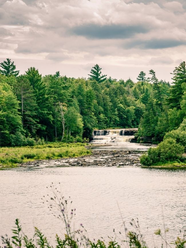
Approximate western boundary of the HMC. Just downstream of this point (I believe outside of HMC property), the river swings sharply south, then rounds what is labeled "Darby Bend" to resume heading north, then entering a series of meandering switchbacks in very low-gradient run-out the rest of the way to the listed take-out (and beyond to Lake Superior).
Location


View Full Run
confluence of W Br to Cty 550 (10.8 miles) **Access Issues **
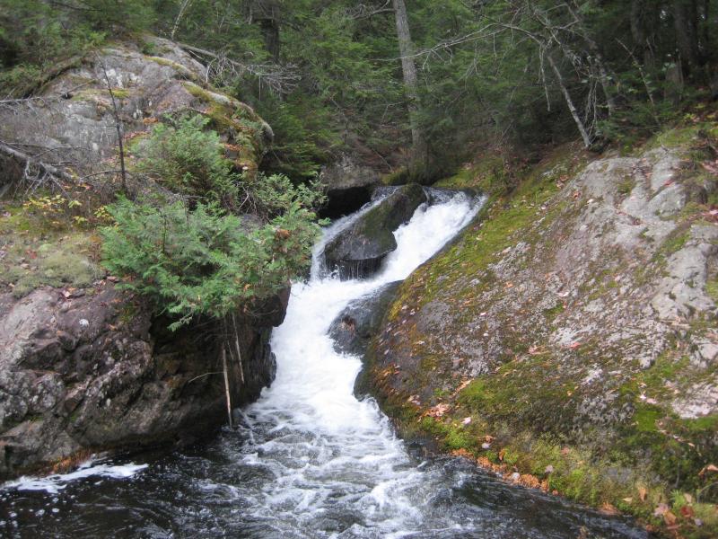
Salmon Trout
III-V
8.9 mi
Hazard — Exercise extreme caution in this area.
Current Conditions
5-Day Forecast
Whitewater data from
American Whitewater
American Whitewater