Put In: Northwestern Road at W.Br.Salmon Trout
Save this feature with the run it belongs to.
Gauge Conditions
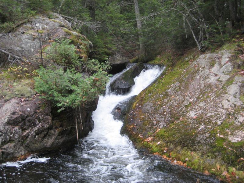
Best levels unknown. Most of reach is off limits. (From 2005-2012, the highest DAILY MEAN flow at gauge is only 35 cfs.)
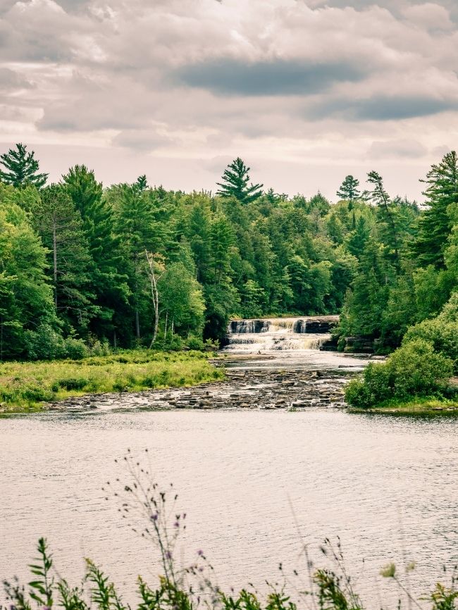
Description
As mentioned in the main description, put-in is from a logging road which is not plowed during the winter months. Thus, during the prime water season (mid-late April), access would likely require creative shuttle arrangements (snowmobiles/ATVs).
NOTE: After passing the cabins at Dodge City, Northwestern Road crosses (1) a small unnamed (on maps that I have found) trib, (2) the (main stem) Salmon Trout, (3) another unnamed tributary, and then (4) the West Branch Salmon Trout. Putting in at the first crossing of the main stem would add 0.65 mile of low gradient (and likely high deadfall) paddling. We feel using the W.Br. (to either put-in, or drag in alongside to the confluence with the main stem) is likely a better choice.
Location
Current Conditions
5-Day Forecast
American Whitewater