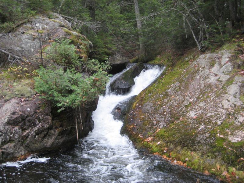
Hazard
MI
Approximate HMC Boundary
Save this feature with the run it belongs to.
Gauge Conditions
Runnable: 50.0 – 300.0 CFS
Best levels unknown. Most of reach is off limits. (From 2005-2012, the highest DAILY MEAN flow at gauge is only 35 cfs.)
Data from American Whitewater & USGS
Description
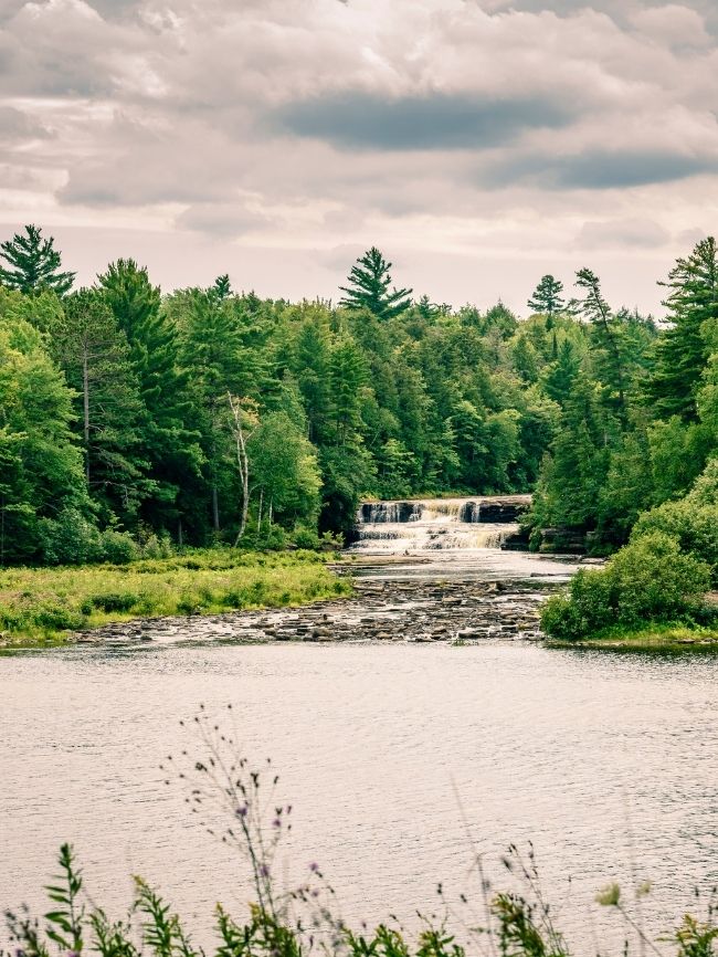
Huron Mountain Club owns a tract of about 19,000 acres (nearly 30 square miles), and reportedly is quite strict at policing access and trespass.
Location

View Full Run
confluence of W Br to Cty 550 (10.8 miles) **Access Issues **
Salmon Trout
III-V
8.9 mi
Hazard — Exercise extreme caution in this area.
Current Conditions
5-Day Forecast
Whitewater data from
American Whitewater
American Whitewater