Take-out
MI
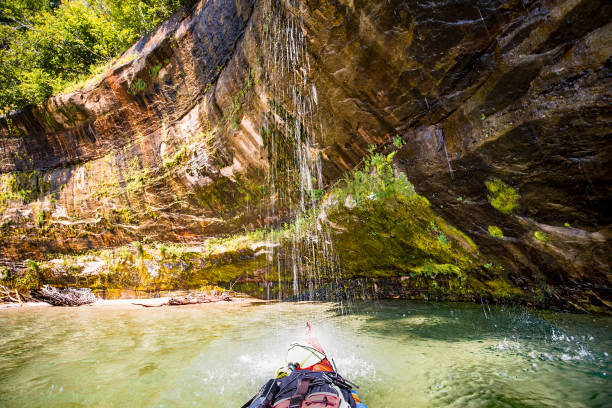
Take Out
Save this feature with the run it belongs to.
Gauge Conditions
Runnable: 50.0 – 300.0 CFS
Best levels unknown. Most of reach is off limits. (From 2005-2012, the highest DAILY MEAN flow at gauge is only 35 cfs.)
Data from American Whitewater & USGS
Photo
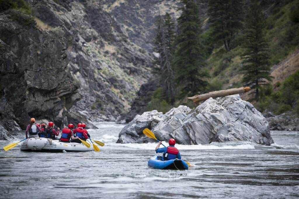
Photo courtesy of American Whitewater
Description
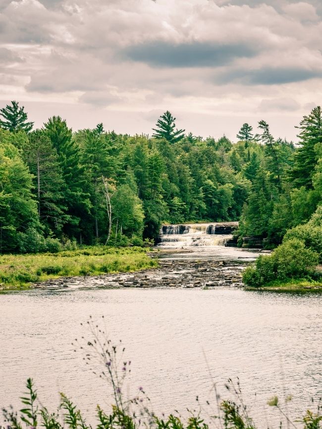
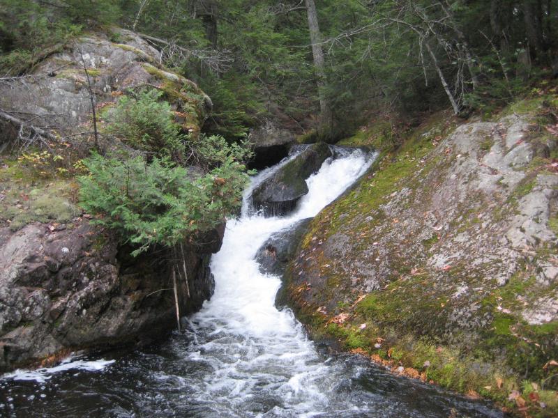
Take Out rapid marks the end of this scenic Salmon Trout River section, requiring careful navigation through a tight constriction with potential underwater obstructions. Paddlers should be alert for shifting rocks and potential wood hazards near the takeout point, particularly during low water conditions when route selection becomes more critical.
Location
View Full Run
confluence of W Br to Cty 550 (10.8 miles) **Access Issues **
Salmon Trout
III-V
8.9 mi
Current Conditions
5-Day Forecast
Whitewater data from
American Whitewater
American Whitewater