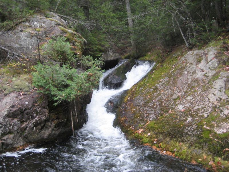
Waterfall
MI
Upper Falls
Save this feature with the run it belongs to.
Gauge Conditions
Runnable: 50.0 – 300.0 CFS
Best levels unknown. Most of reach is off limits. (From 2005-2012, the highest DAILY MEAN flow at gauge is only 35 cfs.)
Data from American Whitewater & USGS
Photo
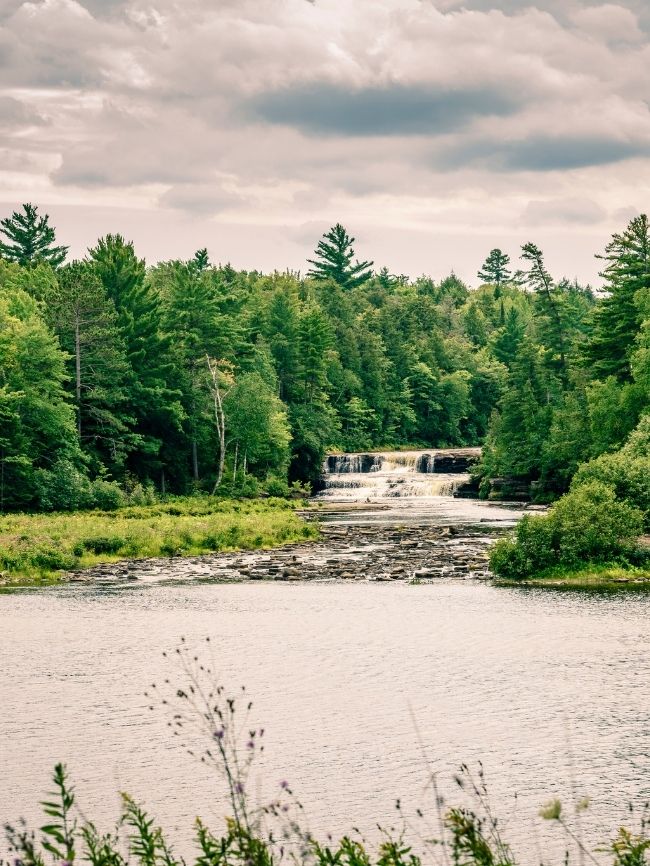
Photo courtesy of American Whitewater
Description
Upper Falls is a significant waterfall drop on the Salmon Trout River with potential for technical navigation and serious consequence. Paddlers must carefully assess water levels and scout thoroughly, as the falls presents limited margin for error with potential hazards including potential undercut rocks and complex hydraulics near the base of the drop.
Location

View Full Run
confluence of W Br to Cty 550 (10.8 miles) **Access Issues **
Salmon Trout
III-V
8.9 mi
Current Conditions
5-Day Forecast
Whitewater data from
American Whitewater
American Whitewater