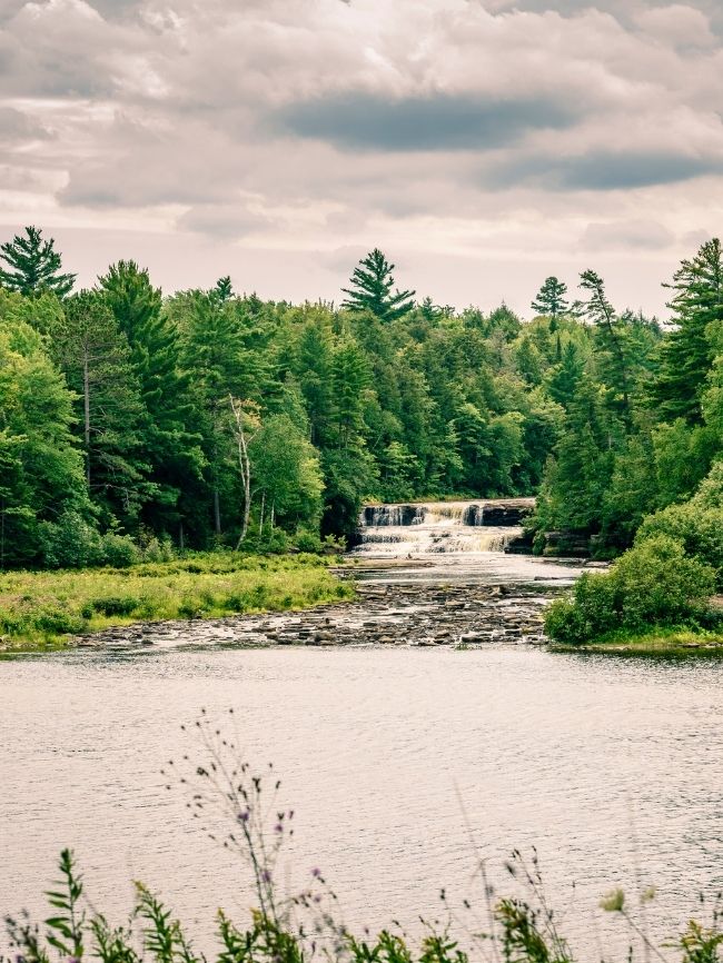
Waterfall
MI
Hogback Falls
Save this feature with the run it belongs to.
Gauge Conditions
Runnable: 50.0 – 300.0 CFS
Best levels unknown. Most of reach is off limits. (From 2005-2012, the highest DAILY MEAN flow at gauge is only 35 cfs.)
Data from American Whitewater & USGS
Photo
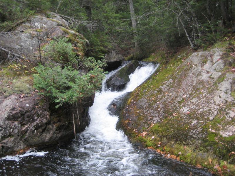
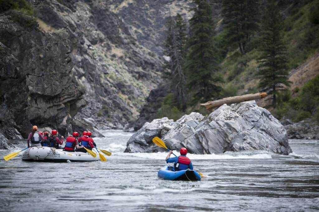
Photo courtesy of American Whitewater
Description
At 3 2/3 miles, the Salmon Trout takes a sharp hook to the right (South) and reaches the confluence with the East Branch Salmon Trout (nearly equal in size). Hogback Falls will not be on your run, but on the East Branch of the river. (The 'distance' listed here is the mile marker for the confluence with that other stream.) It could be worth a hike to check out (other than it would be about 5/6 of a mile).
Location
View Full Run
confluence of W Br to Cty 550 (10.8 miles) **Access Issues **
Salmon Trout
III-V
8.9 mi
Current Conditions
5-Day Forecast
Whitewater data from
American Whitewater
American Whitewater