Waterfall
MI
Lower Falls
Save this feature with the run it belongs to.
Gauge Conditions
Runnable: 50.0 – 300.0 CFS
Best levels unknown. Most of reach is off limits. (From 2005-2012, the highest DAILY MEAN flow at gauge is only 35 cfs.)
Data from American Whitewater & USGS
Photo
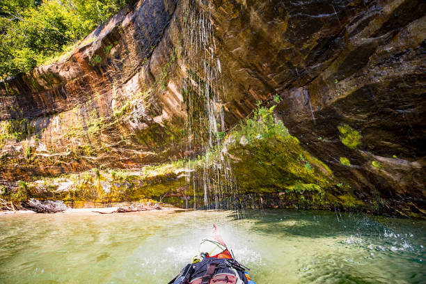
Photo courtesy of American Whitewater
Description
Lower Falls on the Salmon Trout River features a significant vertical drop that creates a powerful hydraulic and challenging landing zone. Paddlers must carefully navigate the technical approach and be prepared for intense recirculating currents at the base of the waterfall. Scouting is strongly recommended due to potential underwater hazards and the rapid's complex hydraulic dynamics.
Location
View Full Run
confluence of W Br to Cty 550 (10.8 miles) **Access Issues **
Salmon Trout
III-V
8.9 mi
Current Conditions
5-Day Forecast
Whitewater data from
American Whitewater
American Whitewater