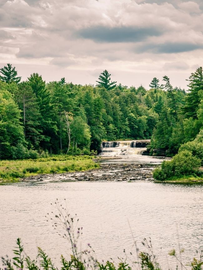
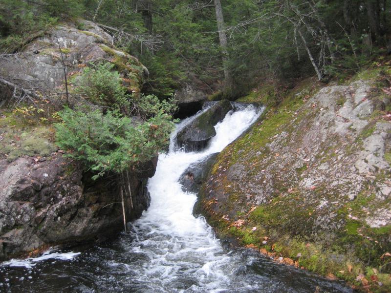
Middle Falls
Save this feature with the run it belongs to.
Gauge Conditions
Best levels unknown. Most of reach is off limits. (From 2005-2012, the highest DAILY MEAN flow at gauge is only 35 cfs.)
Photo

Description
Roughly midway between this ('Middle') falls and the next ('Lower') falls, two smaller tribs come in, in quick succession. The first (at mile 5.75) is Snake Creek, the second (at mile 5.83) is Clear Creek. A very short distance up Clear Creek, there is a 'Lower Dam' marked on topos, and (not far upstream of that) the creek seems to have considerable gradient which could be worth a look, though the creek is quite small. A road marked "Blind 35" runs quite near this stream, and heads back near Middle Falls. (Again, all of this would be 'off-limits', within the Huron Mountain Club.)
Location


Current Conditions
5-Day Forecast
American Whitewater